
Big Rock Sports
Underwater Topography Map | Big Rock Sports | CoastalCountry
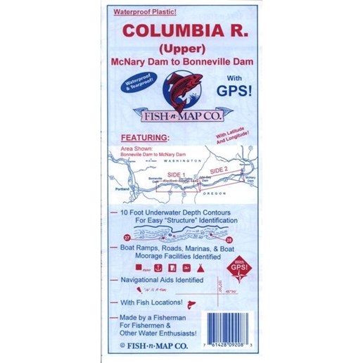
Underwater Topography Map
{{title}}

{{resource('Product.Label.Sku')}}: {{sku}}
- 10 foot underwater depth contours
- Underwater features identified including submerged roadbeds, railroad tracks and railroad beds, wrecks
- Underwater bottom conditions identified: sand, rocky, mud
- Latitude and longitude grids with over 100 GPS coordinates identified
- Waterproof and Tear-resistant plastic, folds to 9”x4”, unfolds to 3’x2’, 2-sided chart